Choose Which Site You Want To See


Ordnance Survey Survey Exmoor Map: Ordnance Survey Exmoor Map >1:25 000 (4 cm to 1 km, 2½ inches to 1 mile) >1270 x 952 mm (134 x 227 mm folded)...

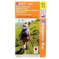
Ordnance Survey Survey Brecon Beacons Western Map: Ordnance Survey Brecon Beacons Western Map > Brecon Beacons Natinal park western areas map > The Essesntial map for...
Ordnance Survey Survey Brecon Beacons Western Map: Ordnance Survey Brecon Beacons Western Map > Brecon Beacons Natinal park western areas map > The Essesntial map for...
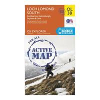
Ordnance Survey Explorer Active Map Ol38 Loch Lomond South Map With Digital Version - Orange, Orange: The essential map for outdoor activities in all weathers in Loch Lomond South. The OS Explorer Active Map is the...

Ordnance Survey Explorer Active Map Ol38 Loch Lomond South Map With Digital Version - Orange, Orange: The essential map for outdoor activities in all weathers in Loch Lomond South. The OS Explorer Active Map is the...
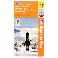
Ordnance Survey Survey Brecon Beacons Eastern Map: Ordnance Survey Brecon Beacons Eastern Map > Brecon Beacons national park/ Parc Cenedlaethol Bannau Brycheiniog >...

Ordnance Survey Survey Brecon Beacons Eastern Map: Ordnance Survey Brecon Beacons Eastern Map > Brecon Beacons national park/ Parc Cenedlaethol Bannau Brycheiniog >...
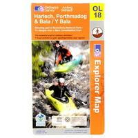
Ordnance Survey Survey Harlech, Porthmadog And Bala Map: Ordnance Survey Harlech, Porthmadog and Bala Map > Showing part of Snowdonia National Park -
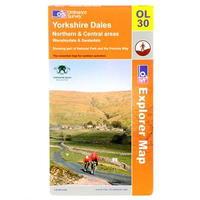
Ordnance Survey Survey Yorkshire Dales Map: Ordnance Survey Yorkshire Dales Map > Northern and Central areas Wensleydale and Swaledale -

Ordnance Survey Survey Glen Coe Map: Ordnance Survey Glen Coe Map > Glen coe and Glen etive Ballachulish and kinlochleven > Showing part of the West...
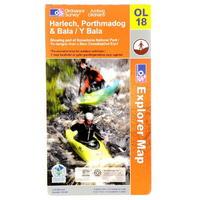
Ordnance Survey Survey Harlech, Porthmadog And Bala Map: Ordnance Survey Harlech, Porthmadog and Bala Map > Showing part of Snowdonia National Park -
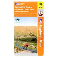
Ordnance Survey Survey Yorkshire Dales Map: Ordnance Survey Yorkshire Dales Map > Northern and Central areas Wensleydale and Swaledale -
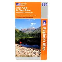
Ordnance Survey Survey Glen Coe Map: Ordnance Survey Glen Coe Map > Glen coe and Glen etive Ballachulish and kinlochleven > Showing part of the West...
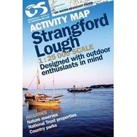
Ordnance Survey Strangford Laminated Map: OS Irish - 1:25 000 Strangford - Activity Map 1:25000 LAMINATED Waterproof Activity maps of Ireland are printed on...
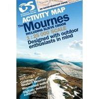
Ordnance Survey Laminated Mournes Map: Waterproof Activity maps of Ireland are printed on water-resistant paper and then encapsulated in thin, tough plastic...
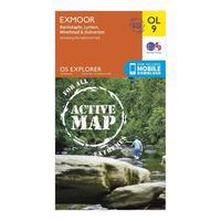
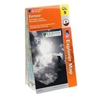
Ordnance Survey Explorer Active Ol9 Exmoor Map, Orange: The essential map for outdoor activities in all weathers in Exmoor. The OS Explorer Active Map is the Ordnance...

Ordnance Survey Explorer Active Ol9 Exmoor Map, Orange: The essential map for outdoor activities in all weathers in Exmoor. The OS Explorer Active Map is the Ordnance...
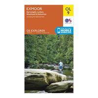
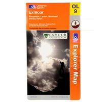
Ordnance Survey Explorer Ol 9 Exmoor Map, Orange: Discover and navigate your surroundings with the Explorer OL 9 from Ordnance Survey, a detailed map which covers the...

Ordnance Survey Explorer Ol 9 Exmoor Map, Orange: Discover and navigate your surroundings with the Explorer OL 9 from Ordnance Survey, a detailed map which covers the...
Explorer Exmoor Map: This Ordnance Survey Map of Exmoor is map sheet number OL9 and the perfect map for exploring the 1000km of footpaths...
