Open popup
x
Choose Which Site You Want To See
Search
A
B
C
D
E
F
G
H
I
J
K
L
M
N
O
P
Q
R
S
T
U
V
W
X
Y
Z
0-9
Browse by Store
1
2
3
4
5
Next
List view
Grid view
Compact
Ordnance Survey Explorer 108 Low...
Click For Info
Ordnance Survey Explorer 108 Low...
Click For Info
Ordnance Survey Explorer Active ...
Click For Info
Ordnance Survey Explorer Active ...
Click For Info
Explorer 108 Lower Tamar Valley ...
Click For Info
Explorer Active 108 Lower Tamar ...
Click For Info
Ordnance Survey Explorer 318 Gal...
Click For Info
Ordnance Survey Explorer Active ...
Click For Info
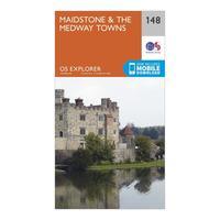
Ordnance Survey Explorer 148 Mai...
Click For Info
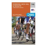
Ordnance Survey Explorer 146 Dor...
Click For Info
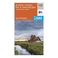
Ordnance Survey Explorer 125 Rom...
Click For Info
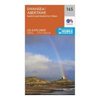
Ordnance Survey Explorer 165 Swa...
Click For Info
Ordnance Survey Explorer 156 Chi...
Click For Info
Ordnance Survey Explorer 150 Can...
Click For Info
Ordnance Survey Explorer 191 Ban...
Click For Info
Ordnance Survey Explorer 190 Mal...
Click For Info
Ordnance Survey Explorer 189 Her...
Click For Info
Ordnance Survey Explorer 175 Sou...
Click For Info
Ordnance Survey Explorer 193 Lut...
Click For Info
Ordnance Survey Explorer 329 Low...
Click For Info
Ordnance Survey Explorer 319 Gal...
Click For Info
Ordnance Survey Explorer 311 Wig...
Click For Info
Ordnance Survey Explorer 371 St ...
Click For Info
Ordnance Survey Explorer 367 Dun...
Click For Info
Ordnance Survey Explorer 334 Eas...
Click For Info
Ordnance Survey Explorer 359 Oba...
Click For Info
Ordnance Survey Explorer 199 Lam...
Click For Info
Ordnance Survey Explorer 194 Her...
Click For Info
Ordnance Survey Explorer 211 Bur...
Click For Info
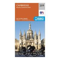
Ordnance Survey Explorer 209 Cam...
Click For Info
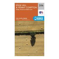
Ordnance Survey Explorer 206 Edg...
Click For Info
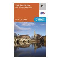
Ordnance Survey Explorer 241 Shr...
Click For Info
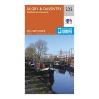
Ordnance Survey Explorer 222 Rug...
Click For Info
Ordnance Survey Explorer 219 Wol...
Click For Info
Ordnance Survey Explorer 259 Der...
Click For Info
Ordnance Survey Explorer 246 Lou...
Click For Info
Ordnance Survey Explorer 242 Tel...
Click For Info
Ordnance Survey Explorer 243 Mar...
Click For Info
Ordnance Survey Explorer 441 Lai...
Click For Info
Ordnance Survey Explorer 440 Gle...
Click For Info
1
2
3
4
5
Next
A
B
C
D
E
F
G
H
I
J
K
L
M
N
O
P
Q
R
S
T
U
V
W
X
Y
Z
0-9
Browse by Store
Search