Choose Which Site You Want To See


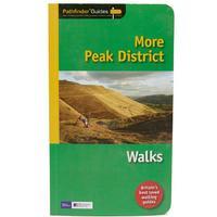
The Ordnance Survey Pathfinder series provides comprehensive information on local walks of varying lengths. The series uses written descriptions and Ordnance Survey mapping to guide walkers along circular, graded routes around the specified area.
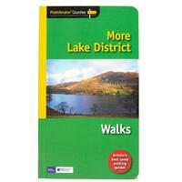
The Ordnance Survey Pathfinder series provides comprehensive information on local walks of varying lengths. The series uses written descriptions and Ordnance Survey mapping to guide walkers along circular, graded routes around the specified area.
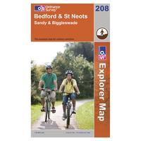
With the 1:25000 scale Ordnance Survey Explorer 208 Bedford & St Neots Map you are sure to find all the best walks, routes and places of interest around this area. Colour Swatch:OrangeAdditional Notes:With the 1:25000 scale Ordnance Survey Explorer 208 Bedford & St Neots Map you are sure to find...
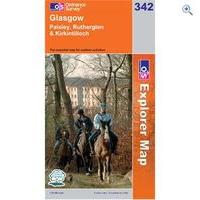
Ordnance Survey Map - Explorer- Glasgow:Created by the trusted brand of the Ordnance Survey, this series of map focuses on exploring the local area, perfect for walkers and cyclists to horseriders. Covering all areas through a map styl
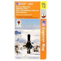
Ordnance Survey Brecon Beacons Western Map > Brecon Beacons Natinal park western areas map > The Essesntial map for outdoor activities -
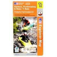
Ordnance Survey Harlech, Porthmadog and Bala Map > Showing part of Snowdonia National Park -
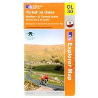
Ordnance Survey Yorkshire Dales Map > Northern and Central areas Wensleydale and Swaledale -
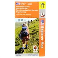
Ordnance Survey Brecon Beacons Eastern Map > Brecon Beacons national park/ Parc Cenedlaethol Bannau Brycheiniog > Eastern area/ Ardal ddwyreiniol The essential map for outdoor activities -
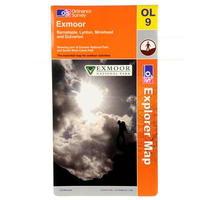
Ordnance Survey Exmoor Map >1:25 000 (4 cm to 1 km, 2½ inches to 1 mile) >1270 x 952 mm (134 x 227 mm folded) >Barnstaple, Lynton, Minehead and Dulverton showing part of Exmoor National Park and South West Coast Path -
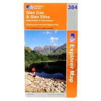
Ordnance Survey Glen Coe Map > Glen coe and Glen etive Ballachulish and kinlochleven > Showing part of the West Highland Way -
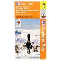
Ordnance Survey Brecon Beacons Western Map > Brecon Beacons Natinal park western areas map > The Essesntial map for outdoor activities -
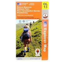
Ordnance Survey Brecon Beacons Eastern Map > Brecon Beacons national park/ Parc Cenedlaethol Bannau Brycheiniog > Eastern area/ Ardal ddwyreiniol The essential map for outdoor activities -
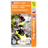
Ordnance Survey Harlech, Porthmadog and Bala Map > Showing part of Snowdonia National Park -
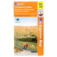
Ordnance Survey Yorkshire Dales Map > Northern and Central areas Wensleydale and Swaledale -
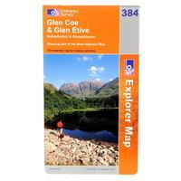
Ordnance Survey Glen Coe Map > Glen coe and Glen etive Ballachulish and kinlochleven > Showing part of the West Highland Way -
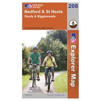
With the 1:25000 scale Ordnance Survey Explorer 208 Bedford & St Neots Map you are sure to find all the best walks, routes and places of interest around this area. Colour Swatch:OrangeAdditional Notes:With the 1:25000 scale Ordnance Survey Explorer 208 Bedford & St Neots Map you are sure to find...
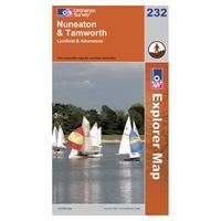
The Explorer 232 from Ordnance Survey is a detailed map and the essential companion for uncovering the secrets in the Midlands around Warwickshire and Staffordshire. There are several Recreational Paths which weave their way around the towns if Lichfield, Tamworth, Atherstone and Nuneaton. Colour...
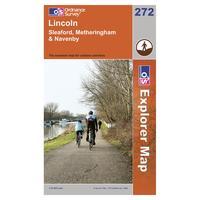
Find all the best walks, routes, landmarks, points of interest and some terrific scenic drives with the 1:25000 scale Ordnance Survey Explorer 272 Lincoln Map. The 1:25000 scale Ordnance Survey Explorer 272 Lincoln Map will give you all the information you need to make any visit to the beautiful...
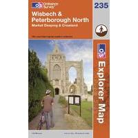
Find all the best walks, routes, landmarks, points of interest and some terrific scenic drives with the 1:25000 scale Ordnance Survey Explorer 235 Wisbech & Peterborough North Map. The 1:25000 scale Ordnance Survey Explorer 235 Wisbech & Peterborough North Map will give you all the information you...
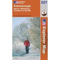
Find all the best walks, routes, landmarks, points of interest and some terrific scenic drives with the 1:25000 scale Ordnance Survey Explorer 227 Peterborough Map. The 1:25000 scale Ordnance Survey Explorer 227 Peterborough Map will give you all the information you need to make any visit to the...
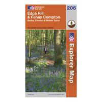
Part of Ordnance Survey\'s impressive Explorer series, the 206 Explorer Map allows you explore the northern section of the Cotswolds, an area known well for its outstanding natural beauty. This spectacular area can be seen by walking the Centenary Way through Middle Tysoe and Edge Hill up to Fenny...
Find all the best walks, routes, landmarks, points of interest and some terrific scenic drives with the wipe-clean 1:25000 scale Ordnance Survey Explorer Active 417 Monadhliath Mountains North & Strathdearn Map. The wipe-clean 1:25000 scale Ordnance Survey OS Explorer Active 417 Monadhliath...
Find all the best walks, routes, landmarks, points of interest and some terrific scenic drives with the wipe-clean 1:25000 scale Ordnance Survey Explorer Active 417 Monadhliath Mountains North & Strathdearn Map. The wipe-clean 1:25000 scale Ordnance Survey OS Explorer Active 417 Monadhliath...
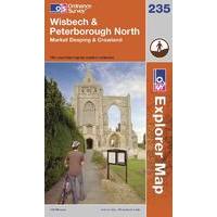
Find all the best walks, routes, landmarks, points of interest and some terrific scenic drives with the 1:25000 scale Ordnance Survey Explorer 235 Wisbech & Peterborough North Map. The 1:25000 scale Ordnance Survey Explorer 235 Wisbech & Peterborough North Map will give you all the information you...
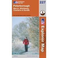
Find all the best walks, routes, landmarks, points of interest and some terrific scenic drives with the 1:25000 scale Ordnance Survey Explorer 227 Peterborough Map. The 1:25000 scale Ordnance Survey Explorer 227 Peterborough Map will give you all the information you need to make any visit to the...
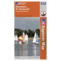
The Explorer 232 from Ordnance Survey is a detailed map and the essential companion for uncovering the secrets in the Midlands around Warwickshire and Staffordshire. There are several Recreational Paths which weave their way around the towns if Lichfield, Tamworth, Atherstone and Nuneaton. Colour...
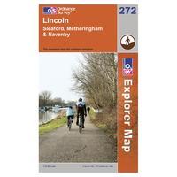
Find all the best walks, routes, landmarks, points of interest and some terrific scenic drives with the 1:25000 scale Ordnance Survey Explorer 272 Lincoln Map. The 1:25000 scale Ordnance Survey Explorer 272 Lincoln Map will give you all the information you need to make any visit to the beautiful...
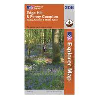
Part of Ordnance Survey\'s impressive Explorer series, the 206 Explorer Map allows you explore the northern section of the Cotswolds, an area known well for its outstanding natural beauty. This spectacular area can be seen by walking the Centenary Way through Middle Tysoe and Edge Hill up to Fenny...
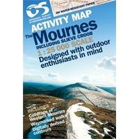
Waterproof Activity maps of Ireland are printed on water-resistant paper and then encapsulated in thin, tough plastic for thoses who love extremes and are ideal for those who want to explore the more rugged areas of Ireland or involved in Duke o ....
Laminated Activity maps of Ireland are printed on water-resistant paper and are ideal for those who want to explore the more rugged areas of Ireland or involved in Duke of Edinburgh schemes. Scale 1:25, 000
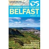
OS IRISH - DISCOVERER 15 BELFAST 1:50000 The OSNI mapping is available in 17 sheets at 1:50, 000 scale and covers the whole of Northern Ireland. Perfect for all outdoor activities including fishing, walking, cycling and horse riding. For more det ....
OS IRISH - ACTIVITY MAP- GLENS OF ANTRIM 1:25000 Activity maps of Ireland are printed on water-resistant paper and are ideal for those who want to explore the more rugged areas of Ireland or involved in Duke of Edinburgh schemes. Scale 1:25, 000
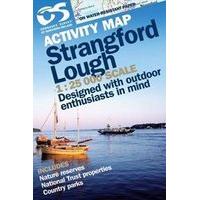
OS IRISH - 1:25 000 STRANGFORD - ACTIVITY MAP 1:25000 Activity maps of Ireland are printed on water-resistant paper and are ideal for those who want to explore the more rugged areas of Ireland or involved in Duke of Edinburgh schemes. Scale 1:25, 000
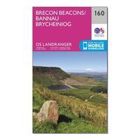
The OS Landranger Map is the ideal map for planning the perfect day out. This best known national map series provides all the information you need to really get to know an area, whether you are a visitor or a local resident. This map comes with a digital version which you can download to your...
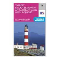
The OS Landranger Map is the ideal map for planning the perfect day out. This best known national map series provides all the information you need to really get to know an area, whether you are a visitor or a local resident. This map comes with a digital version which you can download to your...
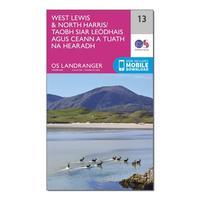
The OS Landranger Map is the ideal map for planning the perfect day out. This best known national map series provides all the information you need to really get to know an area, whether you are a visitor or a local resident. This map comes with a digital version which you can download to your...
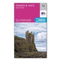
The OS Landranger Map is the ideal map for planning the perfect day out. This best known national map series provides all the information you need to really get to know an area, whether you are a visitor or a local resident. This map comes with a digital version which you can download to your...
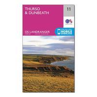
The OS Landranger Map is the ideal map for planning the perfect day out. This best known national map series provides all the information you need to really get to know an area, whether you are a visitor or a local resident. This map comes with a digital version which you can download to your...
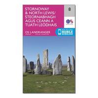
The OS Landranger Map is the ideal map for planning the perfect day out. This best known national map series provides all the information you need to really get to know an area, whether you are a visitor or a local resident. This map comes with a digital version which you can download to your...
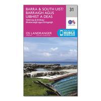
The OS Landranger Map is the ideal map for planning the perfect day out. This best known national map series provides all the information you need to really get to know an area, whether you are a visitor or a local resident. This map comes with a digital version which you can download to your...