Choose Which Site You Want To See


Explorer Canterbury Isle Of Thanet B1 Map: This Ordnance Survey Map of Canterbury and Isle of Thanet is map sheet number 150 and the perfect map for navigating...

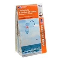
Ordnance Survey Explorer 150 Canterbury & Isle Of Thanet Map With Digital Version, Orange: The essential map for outdoor activities in Canterbury and Isle of Thanet. The OS Explorer Map is the Ordnance...
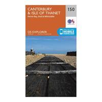
Ordnance Survey Explorer 150 Canterbury & Isle Of Thanet Map With Digital Version, Orange: The essential map for outdoor activities in Canterbury and Isle of Thanet. The OS Explorer Map is the Ordnance...
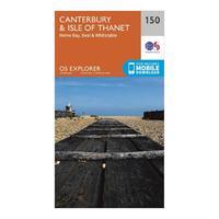
Explorer 150 Canterbury & Isle Of Thanet Map With Digital Version: The essential map for outdoor activities in Canterbury and Isle of Thanet. The OS Explorer Map is the Ordnance...

Ordnance Survey Explorer 375 Isle Of Mull East Map With Digital Version, Orange: The essential map for outdoor activities in Isle of Mull East. The OS Explorer Map is the Ordnance Survey\'s most...
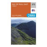
Ordnance Survey Explorer 375 Isle Of Mull East Map With Digital Version, Orange: The essential map for outdoor activities in Isle of Mull East. The OS Explorer Map is the Ordnance Survey\'s most...

Explorer 375 Isle Of Mull East Map With Digital Version: The essential map for outdoor activities in Isle of Mull East. The OS Explorer Map is the Ordnance Surveyâs most...
Canterbury & The Isle Of Thanet - Os Explorer Active Map Sheet Number 150: Purchase the Canterbury & the Isle of Thanet folded map: single-sided (boarded cover) from the OS Explorer Map...

Canterbury & The Isle Of Thanet - Os Explorer Map Sheet Number 150: Purchase the Canterbury & the Isle of Thanet folded map: single-sided (boarded cover) from the OS Explorer Map...

Ordnance Survey Explorer Active 150 Canterbury & The Isle Of Thanet Map With Digital Version, Orange: The essential map for outdoor activities in all weathers in Canterbury and The Isle of Thanet. The OS Explorer Active...
Ordnance Survey Explorer Active 150 Canterbury & The Isle Of Thanet Map With Digital Version, Orange: The essential map for outdoor activities in all weathers in Canterbury and The Isle of Thanet. The OS Explorer Active...

Explorer Active 150 Canterbury & The Isle Of Thanet Map With Digital Version: The essential map for outdoor activities in all weathers in Canterbury and The Isle of Thanet. The OS Explorer Active...

Ordnance Survey Explorer 206 Edge Hill & Fenny Compton Map, Assorted: Part of Ordnance Survey\'s impressive Explorer series, the 206 Explorer Map allows you explore the northern section of...
Ordnance Survey Explorer 206 Edge Hill & Fenny Compton Map, Assorted: Part of Ordnance Survey\'s impressive Explorer series, the 206 Explorer Map allows you explore the northern section of...
Memory Map Explorer 1:25, 000 Ordnance Survey Map 2015 - Sale: The Memory Map Explorer is the best possible outdoor map for harder walks and off-road riding. It transforms your...
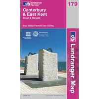
Canterbury & East Kent - Os Landranger Map Sheet Number 179: Purchase the Canterbury and East Kent folded map: single, sided (boarded cover) from the OS Landranger Map...
Ordnance Survey Explorer 340 Holy Island And Bamburg Map Book - Colour: 340: Explorer 340 Holy Island and Bamburg Map Book

Ordnance Survey Explorer 401 Loch Laggan And Creag Map Book - Colour: 401: Explorer 401 Loch Laggan and Creag Map Book
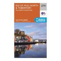
Ordnance Survey Explorer 374 Isle Of Mull North & Tobermory Map With Digital Version, Orange: The essential map for outdoor activities in Isle of Mull North and Tobermory. The OS Explorer Map is the Ordnance...
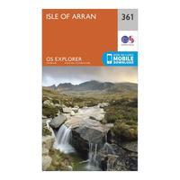
Ordnance Survey Explorer 361 Isle Of Arran Map With Digital Version, Orange: The essential map for outdoor activities in Isle of Arran. The OS Explorer Map is the Ordnance Survey\'s most detailed...
